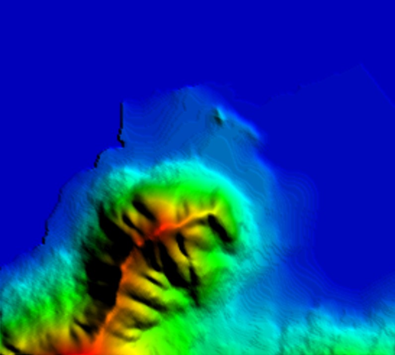
Our GIS team can prepare Digital elevation (DEM) or digital terrain model (DTM) of desired resolutions (30m, 15m or less) which can be used in various applications pertaining to RF Planning domain, Land estimations, mining, or other forms of civil planning.
Population Maps
Our GIS team can prepare population map of any given area using the latest census data and extrapolating it over the clutter maps. Population density maps can include various information about the population classes such as young and old males and females etc that can be used in any GIS tool to gather specific data and prepare use cases.
Clutter Maps
Our GIS team can prepare clutter maps of any given city with as many clutter classifications as required at the desired resolution (30m, 15m or less).